 Galang Taruna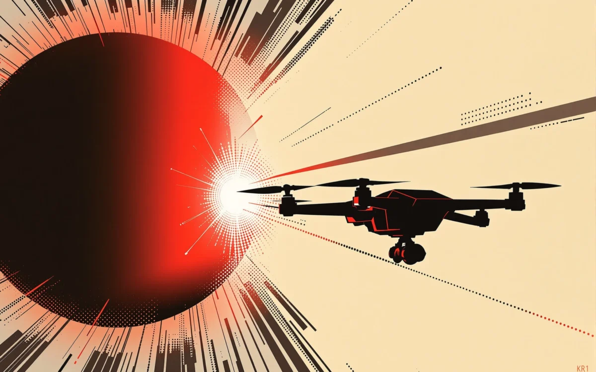
As August 12, 2026, approaches, anticipation builds across France and Spain for a historic total solar eclipse, drawing tens of thousands of observers to witness the rare celestial event. Amidst the excitement, drone enthusiasts and professional cinematographers alike are pondering the feasibility and legality of deploying their aerial devices to capture this breathtaking phenomenon. This article delves into the intricate web of drone regulations across the Pyrenees, examining recent legislative changes, practical constraints, and potential legal ramifications for those hoping to document the eclipse from above.
The Celestial Spectacle of 2026: A Rare Astronomical Event
On the evening of August 12, 2026, the Moon will embark on its grand passage across the Sun, culminating in an extraordinary total solar eclipse. This particular eclipse is notable for its trajectory, with the path of totality sweeping across northern Spain, from the picturesque Asturian coast to the Balearic Islands. While mainland France will experience a partial eclipse, the occultation promises to be significant, exceeding 95% of the solar disk in the southwestern regions, according to projections from the French National Centre for Space Studies (CNES).
The timing of the eclipse adds to its dramatic appeal. In Spain, the period of totality is expected to unfold between approximately 8:26 PM and 8:33 PM local time, varying slightly by region, with the full obscuration lasting a concise one and a half to two minutes. In France, the partial phases will extend from around 7:00 PM in the north until 9:30 PM in the south, coinciding with the late afternoon and early evening light. Such a late-day eclipse, occurring as the sun dips towards the horizon, presents unique photographic opportunities and challenges, particularly for aerial perspectives. The rarity of a total solar eclipse visible from mainland Europe – the last one occurred in 1999, and the next is not until 2061 for France, and 2081 for Spain – underscores the immense public and scientific interest.
Navigating the Skies: Drone Regulations in France
For drone operators in France, the regulatory landscape has seen significant shifts, notably with changes effective January 1, 2026. The basic framework for flights in the "open category" remains largely consistent, requiring operators to adhere to principles of safety and respect for privacy. However, a crucial update concerning flights over populated areas has been implemented, altering previous allowances.
A decree issued on December 23, 2025, modified the "Space" decree of December 3, 2020, specifically addressing the use of drones over urban environments. Under the new regulations, flying over public spaces in agglomerated areas (urban zones) is now permissible in the open category only for professional purposes. This represents a notable tightening for recreational pilots. Furthermore, professional flights in populated zones now necessitate a prior declaration to the territorially competent prefect, requiring a minimum notice period of ten working days, submitted via the new Cerfa form 15476*04. For leisure pilots, flying over public spaces in agglomerations remains strictly prohibited.
This legislative update has immediate implications for the August 2026 eclipse. Any drone pilot discovering these new regulations today would already be too late to file the necessary ten-day advance declaration for flights on August 12, 2026, assuming the eclipse is to be observed from an agglomerated area. Consequently, the only viable option for recreational pilots within the legal deadlines is to operate outside urban areas, at a safe distance from large gatherings, and with explicit permission from the landowner if taking off from private property.
Beyond the urban flight restrictions, operators must meticulously verify the specific flight zone. While the Géoportail map provides a fundamental overview of restricted airspace for open category UAS and aeromodelling, it is not exhaustive. Pilots are legally obligated to cross-reference multiple sources, including NOTAMs (Notices to Airmen) and SUP AIPs (Aeronautical Information Publications) issued by the Service de l’information aéronautique (SIA). Additionally, local municipal or prefectural decrees, as well as regulations governing national parks and natural reserves, can impose further restrictions that may not always be reflected on Géoportail. Proximity to aerodromes, sensitive sites, or military zones can instantly disqualify an otherwise ideal observation spot.
The Spanish Perspective: Mirroring EU Law with Local Nuances
Spain, sharing the European Union’s common aviation safety regulations, largely mirrors France’s drone legal framework. Operators must register with the Spanish Aviation Safety Agency (AESA) to obtain an operator number, which must be affixed to the drone. The A1/A3 certificate, signifying basic operational competence, is also acquired through an online examination. For pre-flight checks, the ENAIRE Drones map serves as Spain’s equivalent to France’s Géoportail, providing essential airspace information that must be consulted before every flight. A significant convenience for cross-border operators is that a drone registered in France via the Alphatango portal does not require re-registration in Spain.
However, Spain introduces its own specific procedural requirements. Royal Decree 517/2024, particularly Article 40, mandates a prior communication to the Ministry of Interior for any drone operation conducted in urban environments or over concentrations of people, regardless of the flight category. This communication must be submitted with a minimum notice of five days, a slightly shorter period than France’s ten working days, but still a critical deadline for event-day operations. The definition of "urban environment" is broad, potentially encompassing publicly accessible recreational areas like developed beaches and municipal parks—precisely the kind of locations designated as official eclipse observation points. In Catalonia, this communication is specifically handled through the Mossos d’Esquadra, the autonomous regional police force.
Beyond Bureaucracy: Practical Challenges for Eclipse Filming
Even for those navigating the regulatory maze successfully, the practical realities of the August 12 eclipse present significant hurdles. The late afternoon timing means the sun will be extremely low on the horizon, necessitating a perfectly clear western horizon for optimal viewing. This explains why popular observation points are often beaches, ridge lines, and belvederes—locations that are also prone to significant crowd concentration. The combination of time, location, and anticipated crowds will therefore be more decisive in determining flight feasibility than the astronomical event itself.
Spanish authorities are preparing for unprecedented crowds. The Valencian Community, for instance, has declared the closure of all natural parks in the provinces of Valencia and Castellón on August 12, along with several protected areas in Alicante province. This measure is a direct response to a maximum pre-emergency level for wildfire risk, a critical concern during the summer months. Nine municipalities have been designated as official observation points, backed by hundreds of security and emergency personnel. Valencia’s Malvarrosa beach alone is expected to draw over 10,000 people. Traffic restrictions and access limitations to certain sites are already planned and may be expanded on the day of the eclipse.

Crucially, emergency services and law enforcement agencies will themselves be deploying aerial assets. The Valencian Community’s preventive plan for the eclipse includes forestry drone units and surveillance flights. Catalonia anticipates deploying helicopters and drones alongside 700 Mossos agents. While no temporary airspace restrictions have been published yet, they could be issued at short notice. The obligation to consult NOTAMs on the day of the flight therefore remains paramount.
A fundamental regulatory constraint, universally applicable under European drone laws, is the prohibition of flying over crowds for recreational purposes. With massive public gatherings anticipated across the eclipse path, adhering to this rule will be exceedingly difficult, if not impossible, at most prime viewing locations.
The Crucial Constraint: Visual Line of Sight and Diminishing Light
A common misconception regarding drone operations during the eclipse concerns "night flight." While it is generally true that open category drone flights are prohibited at night, the "aeronautical night" does not commence immediately at sunset. Instead, it officially begins thirty minutes after sunset and concludes thirty minutes before sunrise. For the August 12 eclipse, the phenomenon will conclude before sunset in most locations, meaning a flight precisely timed with the eclipse remains legally a "day flight."
However, the true challenge lies in the mandate to maintain the drone within the pilot’s continuous visual line of sight (VLOS). During totality in Spain, the ambient light will plummet dramatically for one and a half to two minutes. This sudden darkening directly impedes the pilot’s ability to keep the drone visible to the naked eye, even with anti-collision lights. Drone sensors may struggle with the rapid light changes, and intricate maneuvers could become hazardous. While France will only experience a partial eclipse, the significant drop in light, occurring already in the fading evening glow, will similarly compromise VLOS. This makes maintaining control and awareness exceptionally difficult and potentially dangerous, raising serious safety concerns for both the drone and those on the ground.

Enforcement and Penalties: The Stakes for Non-Compliance
Ignoring drone regulations carries substantial penalties. Minor infringements, such as neglecting to display an operator number or flying without proper training, can result in administrative fines from the Directorate General of Civil Aviation (DGAC) in France, ranging from a few hundred to over a thousand euros. However, flying in a prohibited zone is a far more serious offense. Under Article L6232-4 of the French Transport Code, violations can lead to up to one year of imprisonment and fines of up to 75,000 euros, along with the confiscation of the drone. Similar severe penalties apply for capturing images in restricted aerial photography zones or infringing on privacy rights. Spanish penalties are comparable, underscoring the serious legal risks involved.
Is a Drone the Right Tool? Assessing Technical Suitability
Beyond legal and practical considerations, the very utility of a consumer drone for eclipse photography warrants scrutiny. Most consumer drones are equipped with small photo sensors and wide-angle lenses (or, at best, a telephoto equivalent of around 70mm). Capturing a close-up of the eclipsed sun with such equipment is inherently difficult. Furthermore, pointing a drone’s camera directly at the sun during partial phases without a specialized solar filter poses a significant risk of damaging the camera sensor. This risk is similar to using a smartphone camera without proper protection.
While direct solar observation may be challenging, drones could be employed for other captivating shots: documenting the moon’s shadow sweeping across the landscape, capturing a 360-degree panoramic view of the twilight horizon, or observing the dramatic shift in colors across the environment. These artistic applications, however, still demand a clear, unpopulated site, meticulously scouted in advance, and a simple flight trajectory to minimize risks. The focus would shift from the sun itself to the broader environmental effects of the eclipse.

Broader Implications and Public Safety
The confluence of a rare astronomical event, massive public gatherings, and evolving drone regulations creates a complex scenario. Authorities in both France and Spain are rightly prioritizing public safety and environmental protection, especially given the heightened wildfire risk in late summer. The extensive deployment of emergency and security personnel, along with the closure of natural parks, highlights the gravity with which the event’s management is being approached.
For drone operators, the message is clear: the challenges—regulatory deadlines, crowd density, visual line of sight limitations, and the sheer volume of official aerial operations—render recreational drone photography of the August 2026 eclipse from popular viewing points largely impractical and potentially illegal. Even for professional operators, the stringent pre-notification requirements mean that planning needed to commence months in advance. The responsible approach for enthusiasts will likely involve enjoying the eclipse from the ground, through approved safe viewing methods, and leaving aerial documentation to authorized professionals operating under strictly controlled conditions. The beauty of this celestial dance is best appreciated safely, respecting both the law and the experience of fellow observers.